
DaiVista Inc.: Empowering Decisions with GeographicInformation Systems (GIS)
Daivista delivers geospatial solutions that add context, clarity, and precision to your data—empowering better planning, smarter decisions, and operational efficiency.
Introduction to GIS: Harnessing the Power of Location
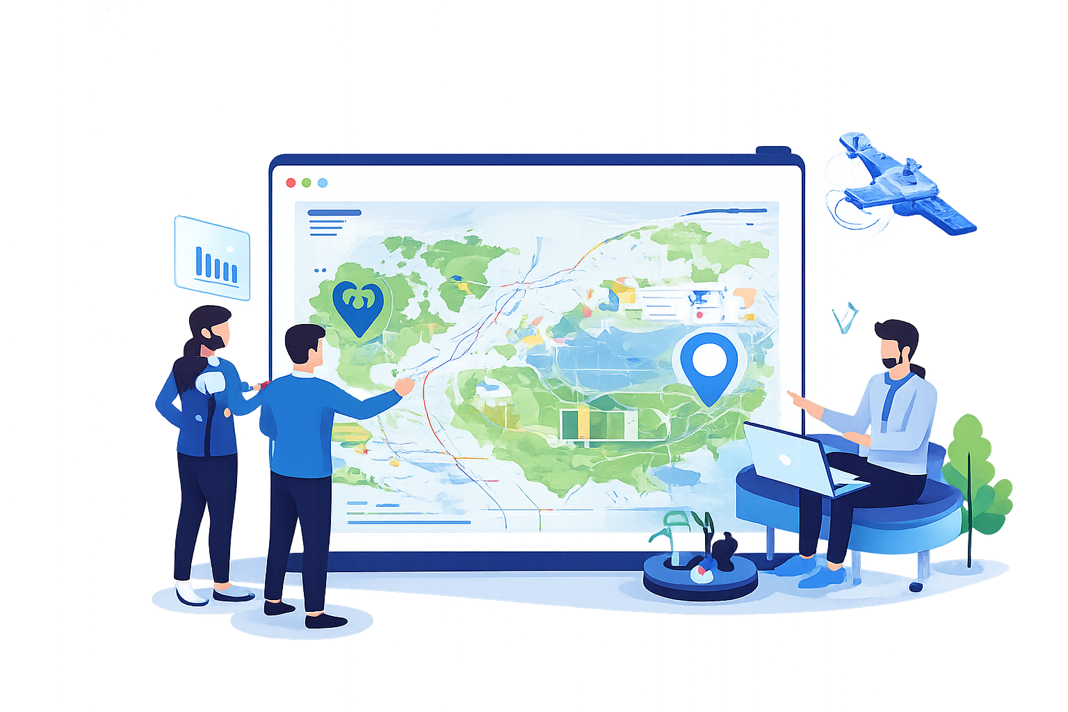
At DaiVista Inc., we transform how organizations interpret and interact with the world through Geographic Information Systems(GIS). GIS integrates hardware, software, and data for managing, analyzing, and visualizing geographical information, providing critical insights that drive informed decision-making across various industries, including urban planning, environmental management, logistics, and emergency services.
Our GIS Services: From Data to Insights
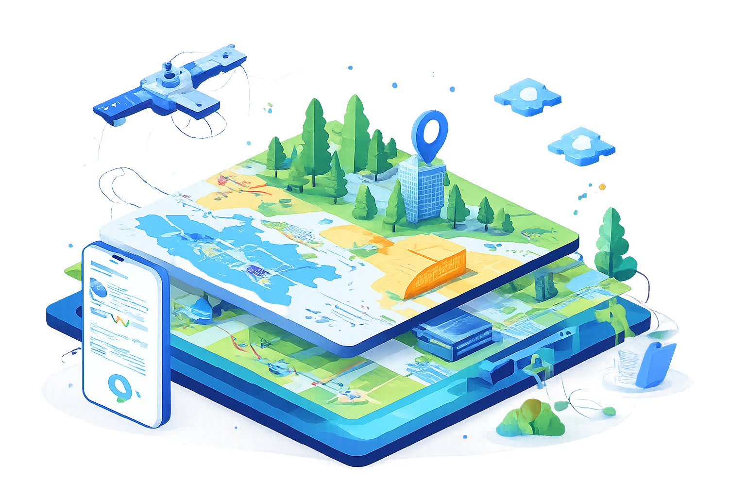
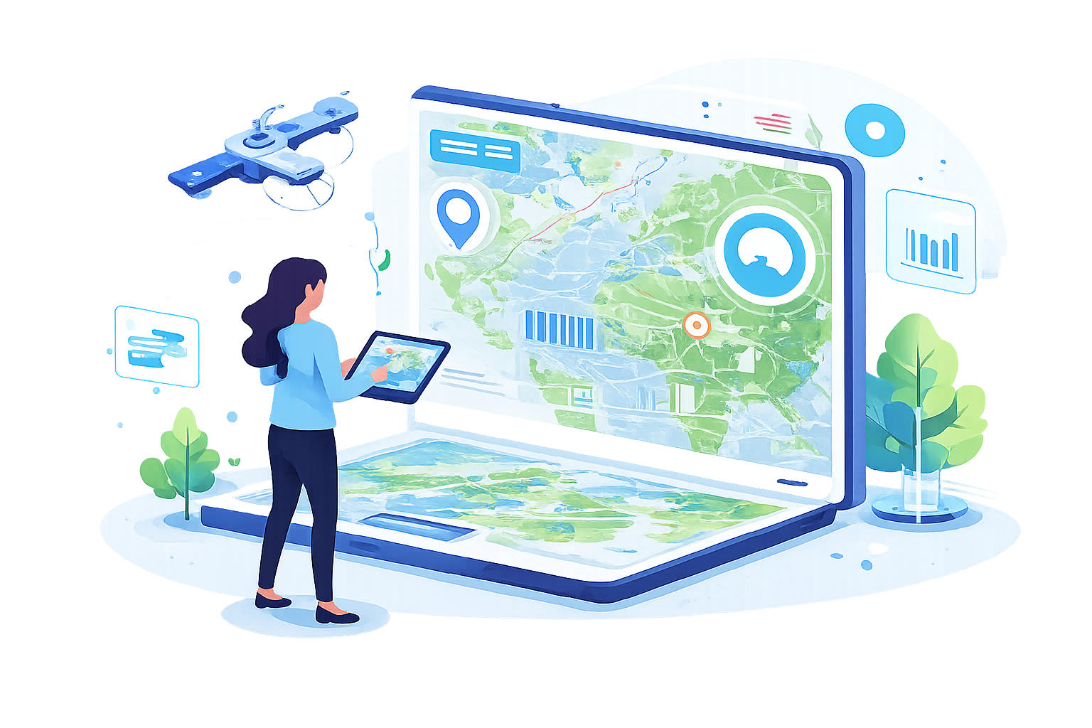
- Mapping & Visualization: We produce dynamic, detailedmaps and visual tools that simplify complex spatial data, enhancing strategicplanning and decision-making across sectors.
- Spatial Analysis & Modeling: By utilizing advancedspatial analysis, we uncover patterns, trends, and relationships in your data,enabling deeper insights and strategic, data-driven decisions.
- Geodatabase Design & Management: Our services includedesigning sophisticated geodatabases and managing your spatial data withprecision, ensuring integrity, accessibility, and efficiency.
- Custom GIS Application Development: We develop customizedGIS applications tailored to enhance your operational workflows, available asweb, mobile, and desktop applications.
- Remote Sensing & Imagery Analysis: Using the latest inremote sensing technology, we analyze satellite and aerial imagery to providedetailed assessments for environmental monitoring, resource management, andinfrastructure planning.
Case Studies: Demonstrating Real-World Impact
- Urban Planning: Optimized a city’s public transit system byanalyzing GIS data on traffic patterns and population density, improvingcommute times and accessibility.
- Environmental Management: Employed satellite imageryanalysis for an environmental agency to monitor and combat deforestation,aiding in effective policy enforcement and conservation efforts.

Technology & Tools: Leveraging Leading Technologies
We utilize top-tier GIS technologies, including ESRI'sArcGIS Suite, QGIS, and PostGIS, to ensure our solutions are robust, scalable,and cutting-edge.